Track: GPX
Type: Linear
Part of E4: Yes
Length: 7 km (4.35 miles) one way or 14 km (there and back)
Time: 2 hours (one way), 4 hours (there and back)
Difficulty: Normal (one way), Difficult (there and back)
Total climb: 288 m (one way) or 757 m (there and back)
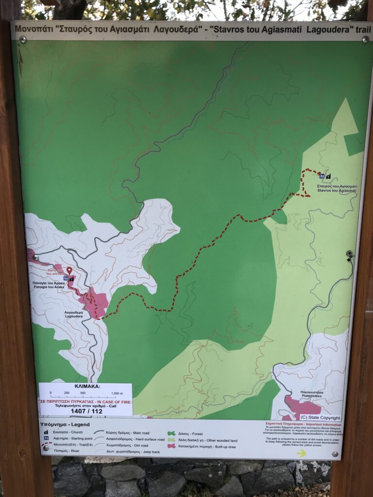
Start: 34.964614, 33.006847 (Panagia tou Araka)
Finish: 34.979239, 33.046827 (Stavros tou Agiasmati)
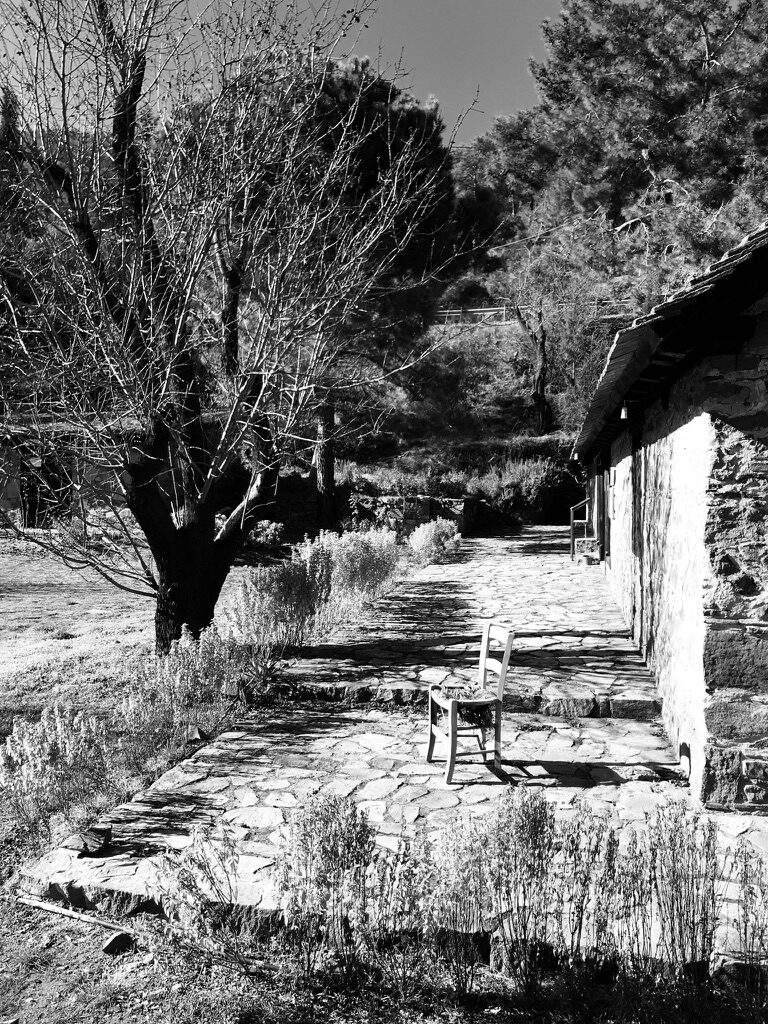
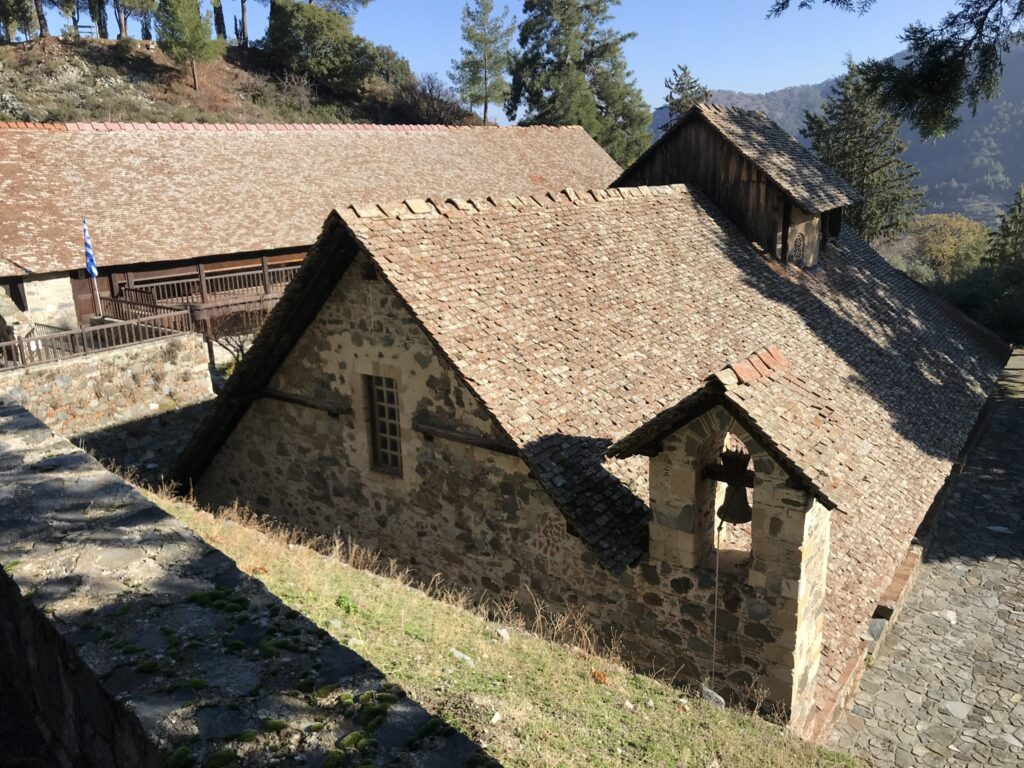
This trail starts and ends at churches which belongs to UNESCO World Heritage Sites. Start is at Panagia tou Araka (1192 AD), you will park in front of a 700 year old oak tree. End is at Stavros tou Agiasmati (1494 AD).
If you are looking for an easy trail consider going with 2 cars, one at the start, another at the end. Otherwise your way back will be a challenge of serious height gain.
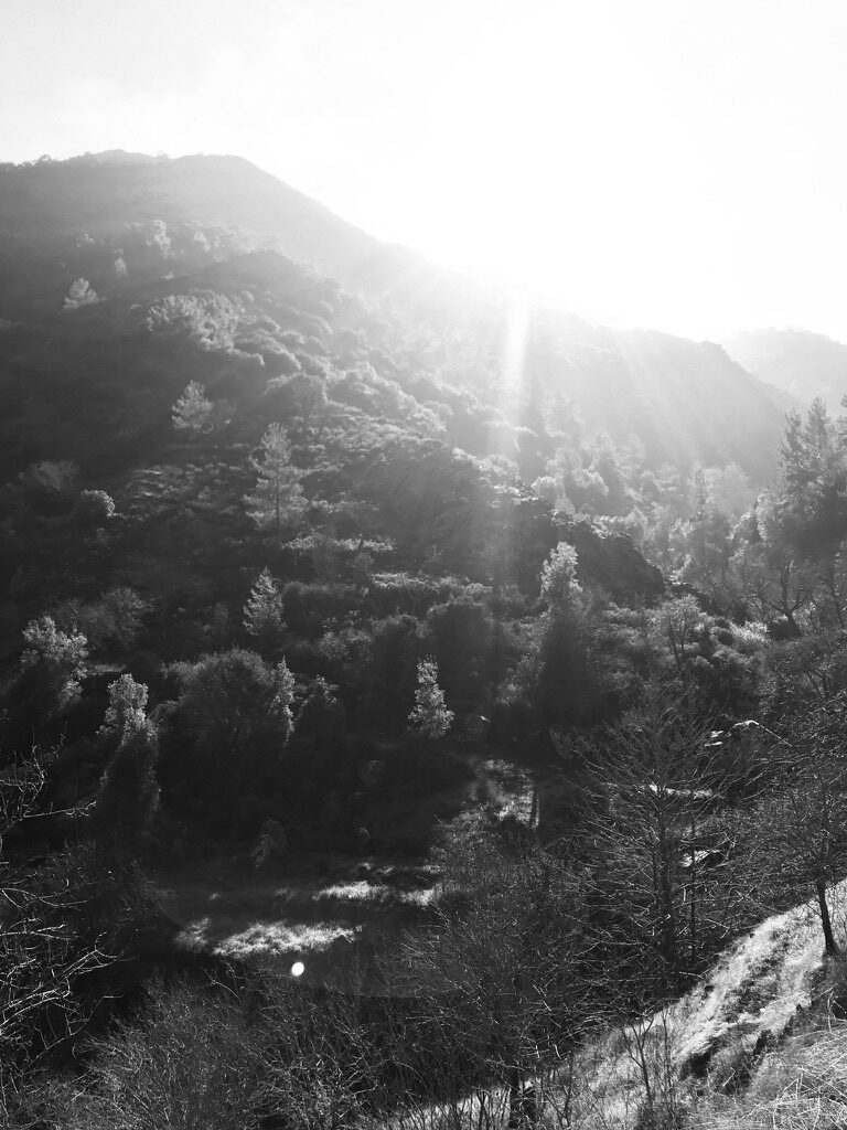
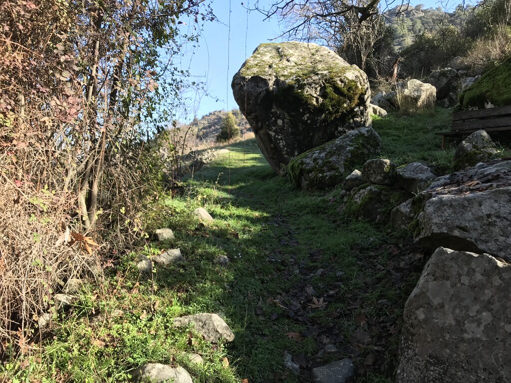
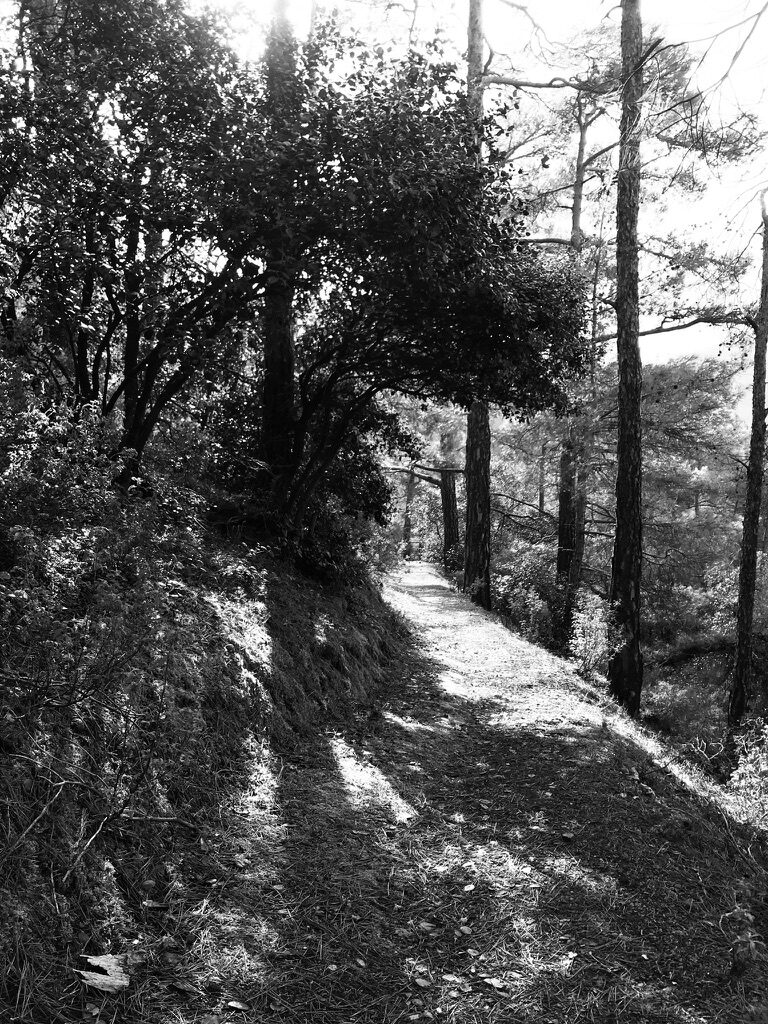
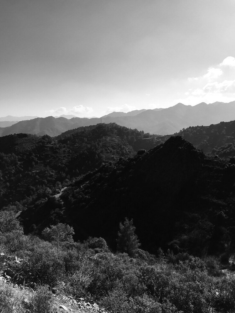
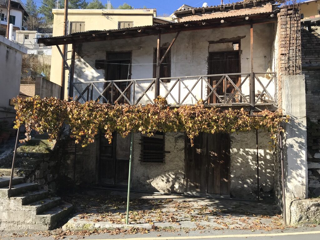
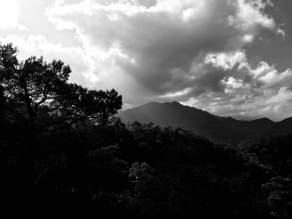
Views are always different and always amazing, including view on second highest peak, pine forests, classic village and old fashioned churches.
