Category Archives: Uncategorized

Panagia tou Araka – Stavros tou Agiasmati 7 km (4.35 miles)

Track: GPX

Type: Linear

Part of E4: Yes

Length: 7 km (4.35 miles) one way or 14 km (there and back)

Time: 2 hours (one way), 4 hours (there and back)

Difficulty: Normal (one way), Difficult (there and back)

Total climb: 288 m (one way) or 757 m (there and back)

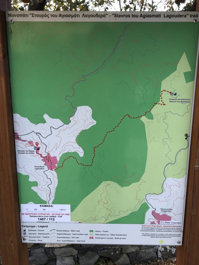
Start: 34.964614, 33.006847 (Panagia tou Araka)

Finish: 34.979239, 33.046827 (Stavros tou Agiasmati)

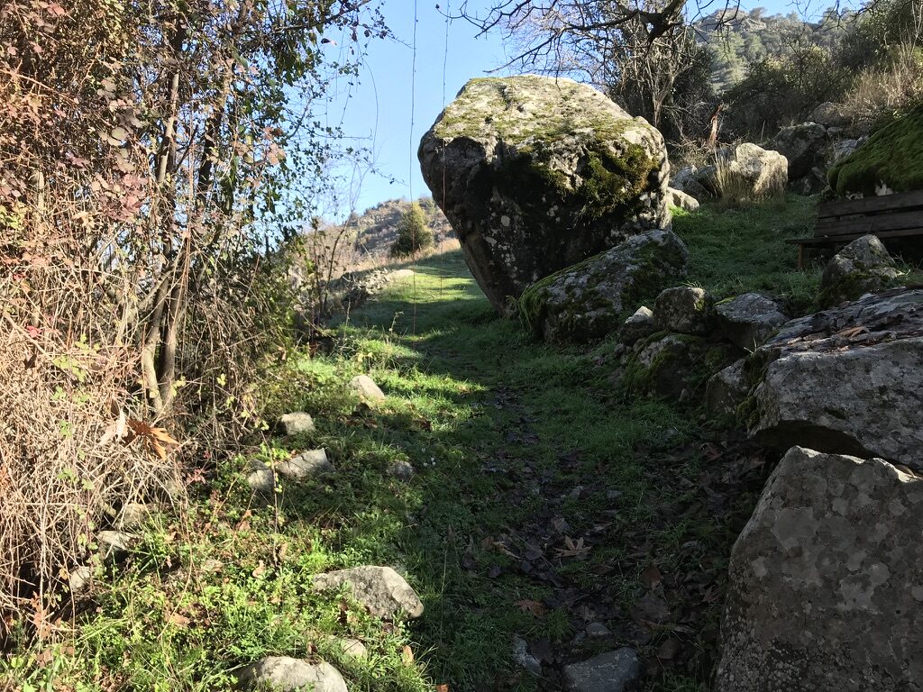
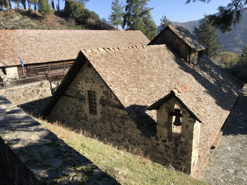
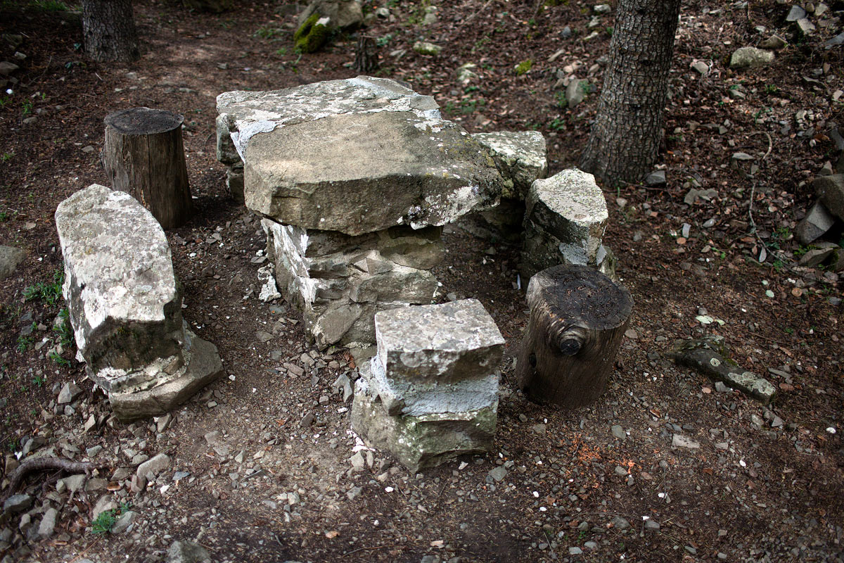
This trail starts and ends at churches which belongs to UNESCO World Heritage Sites. Start is at Panagia tou Araka (1192 AD), you will park in front of a 700 year old oak tree. End is at Stavros tou Agiasmati (1494 AD).

If you are looking for an easy trail consider going with 2 cars, one at the start, another at the end. Otherwise your way back will be a challenge of serious height gain.

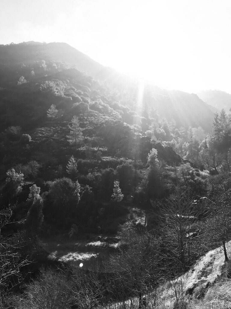
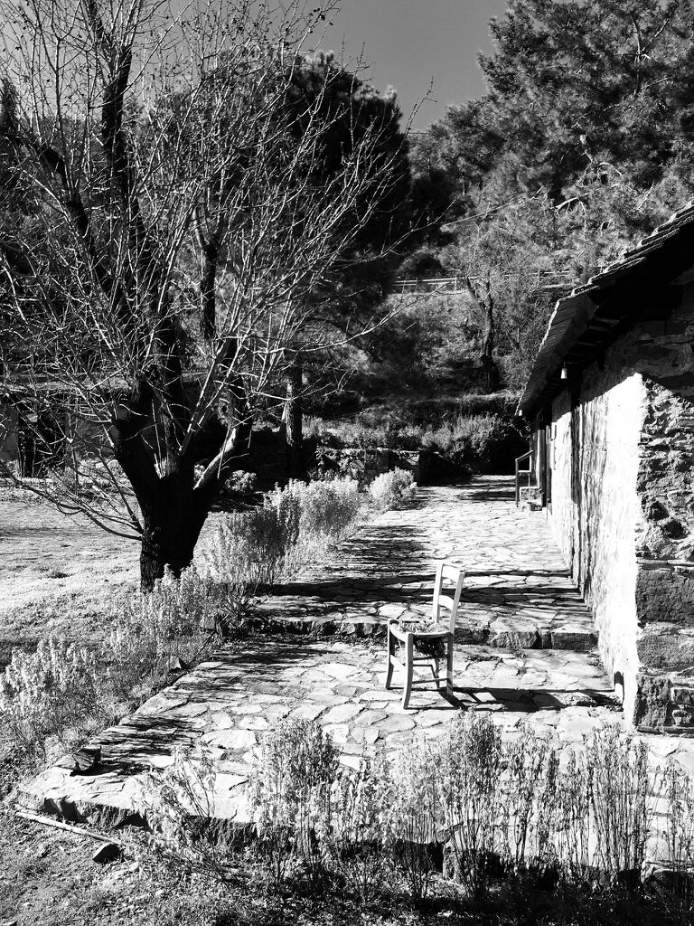
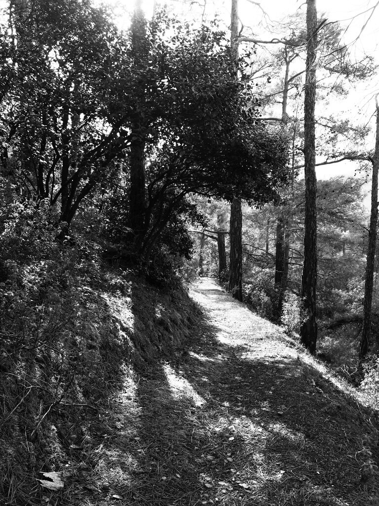
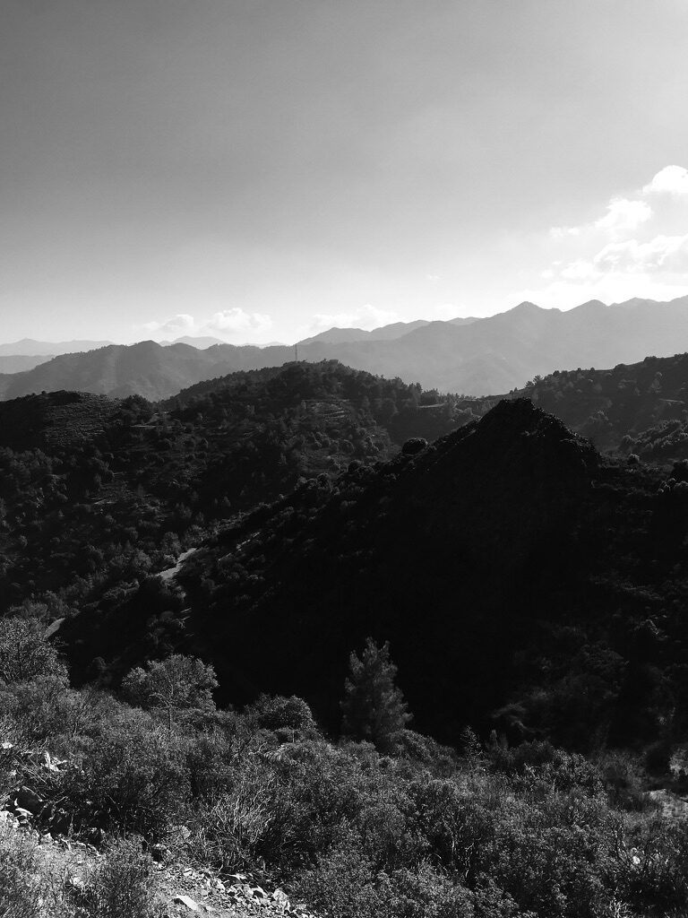
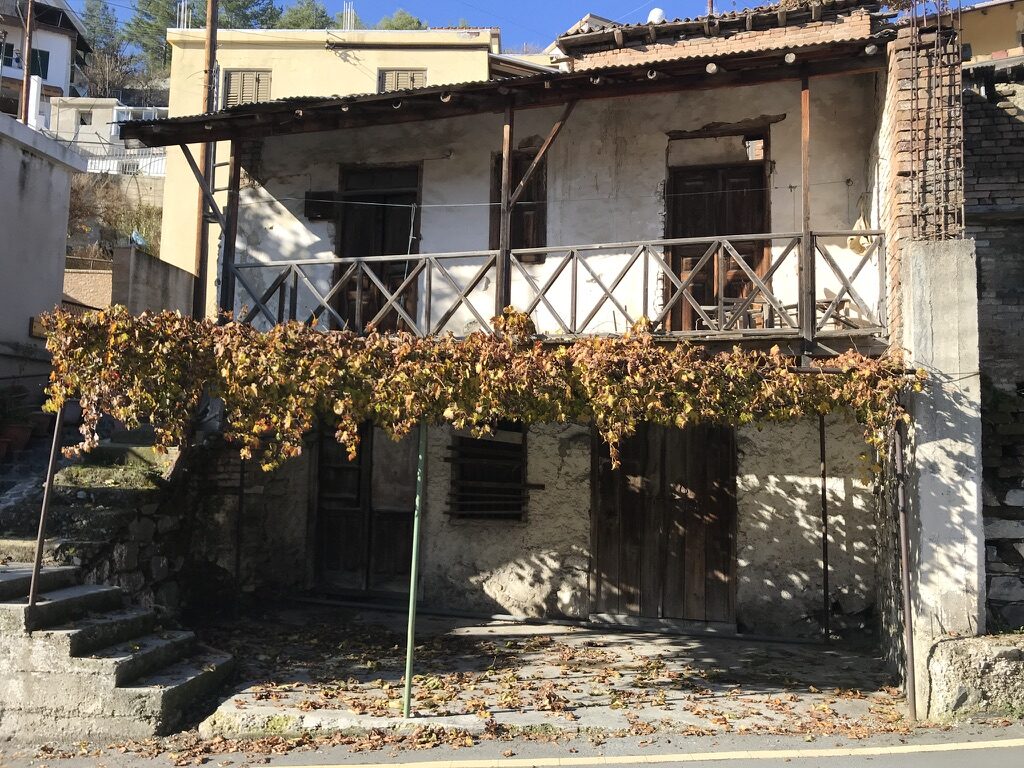
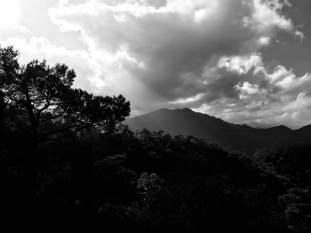
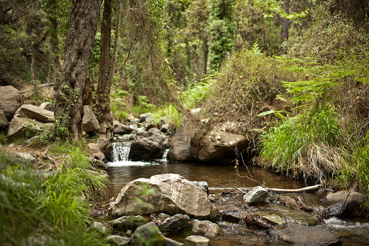
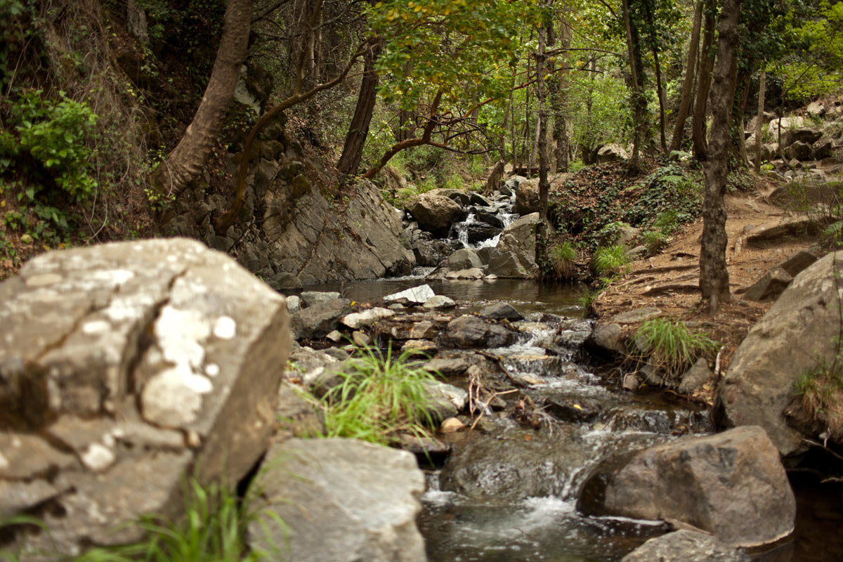
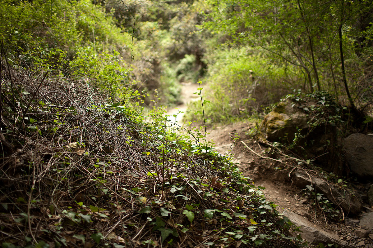
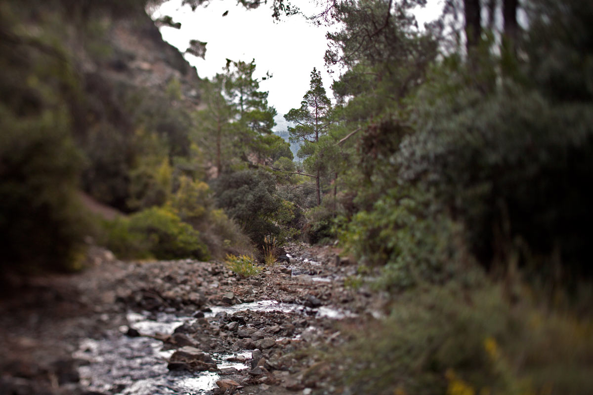
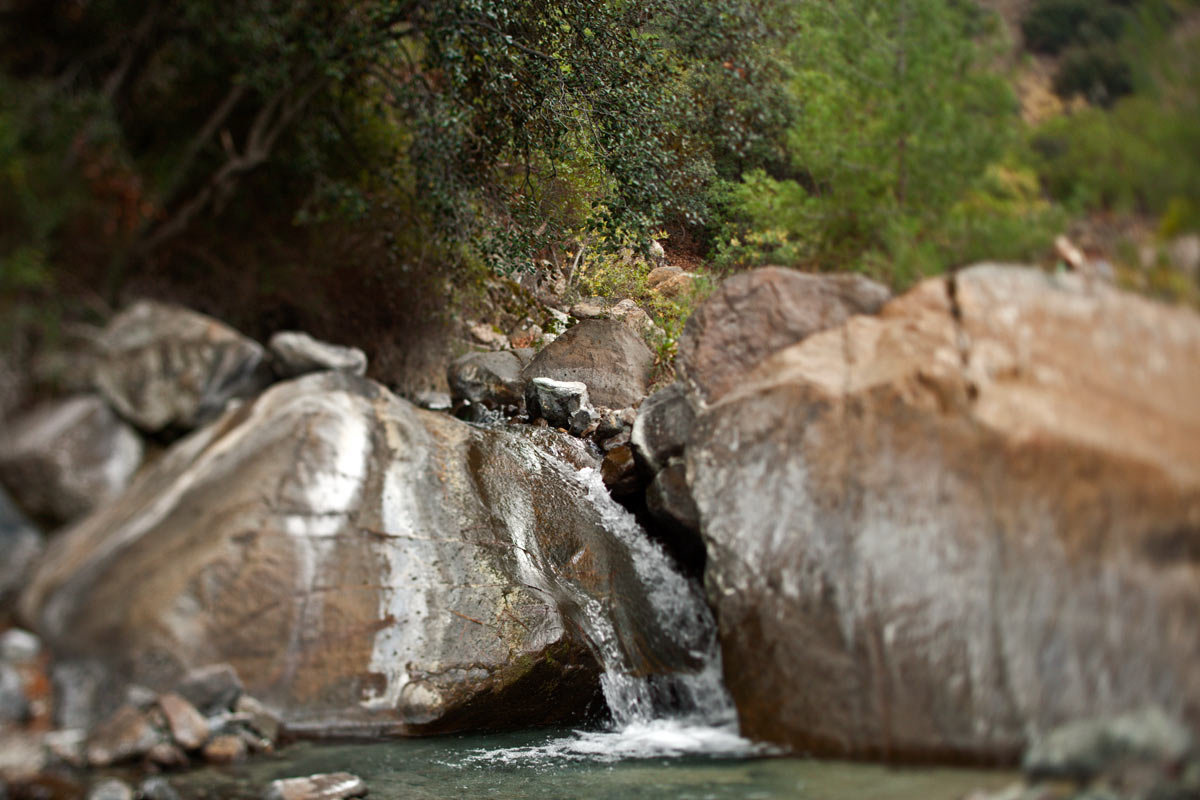
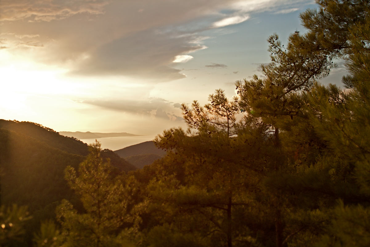
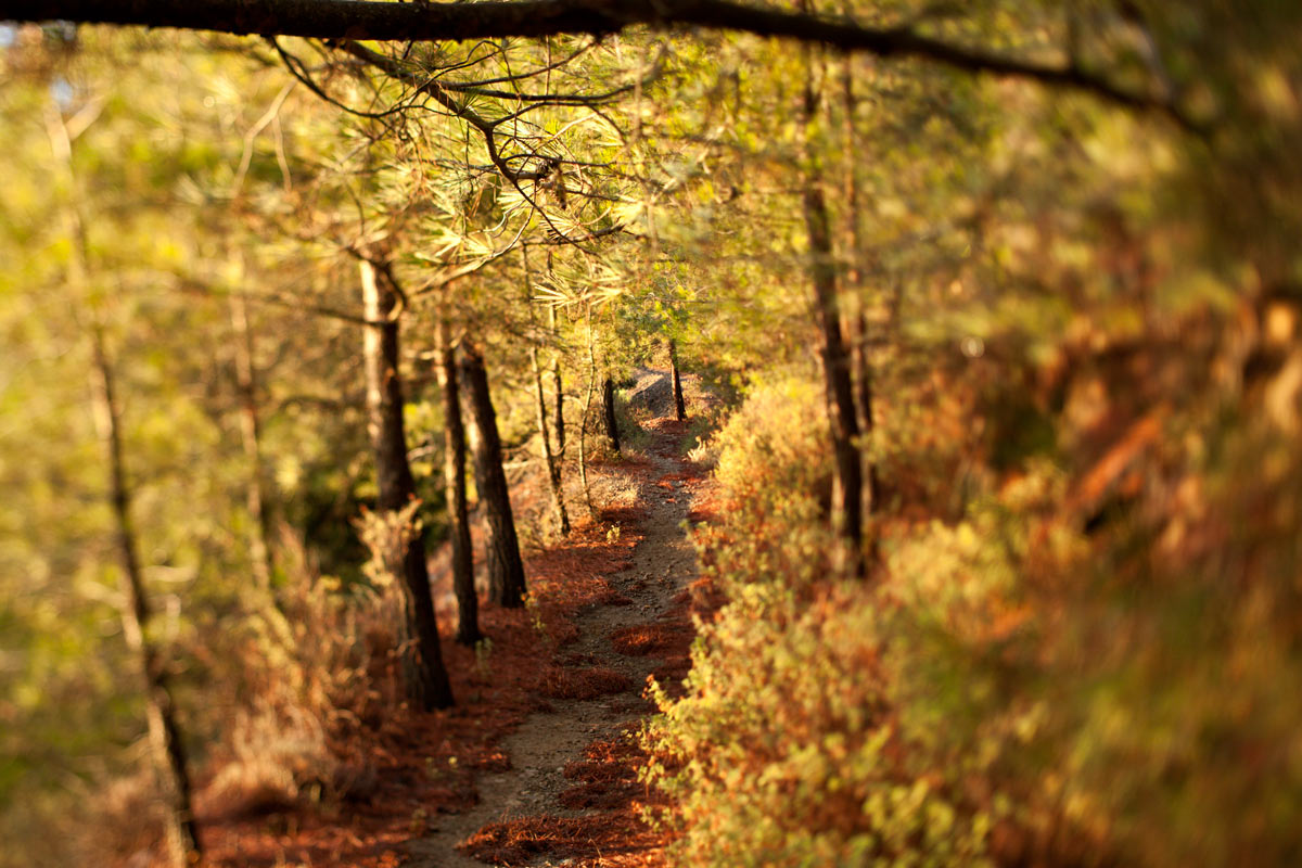
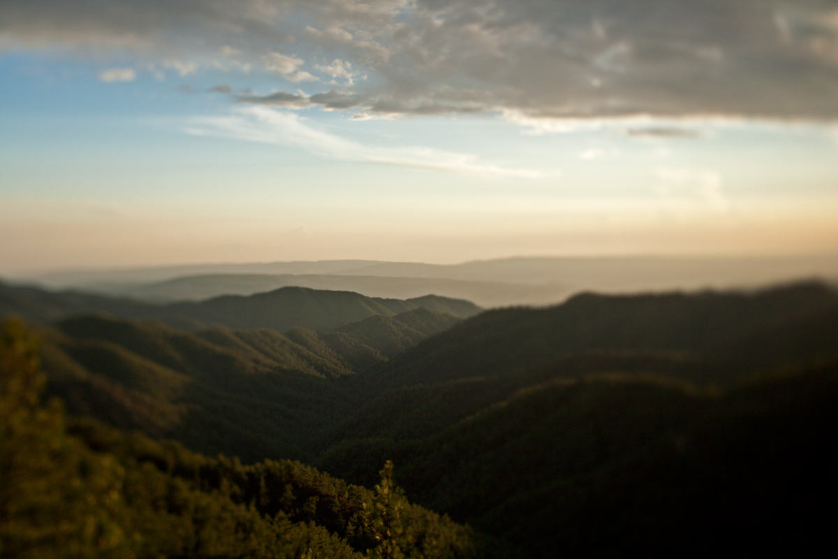
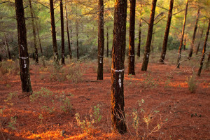
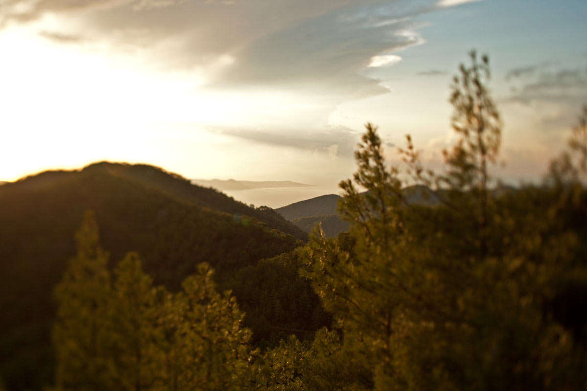
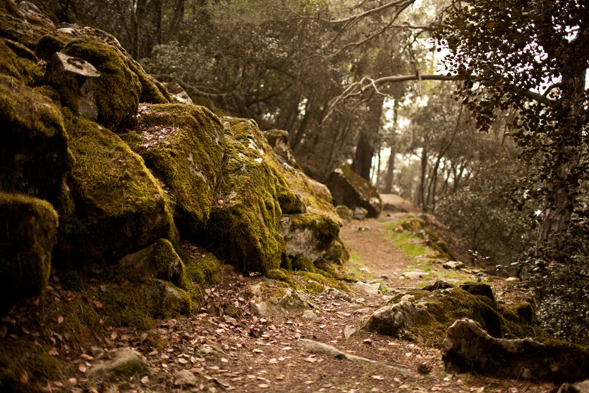
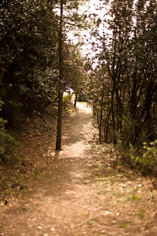
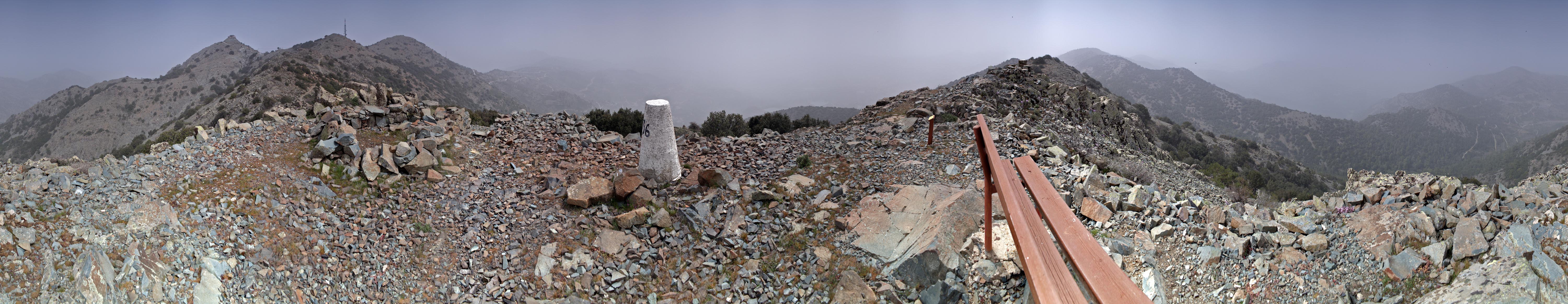
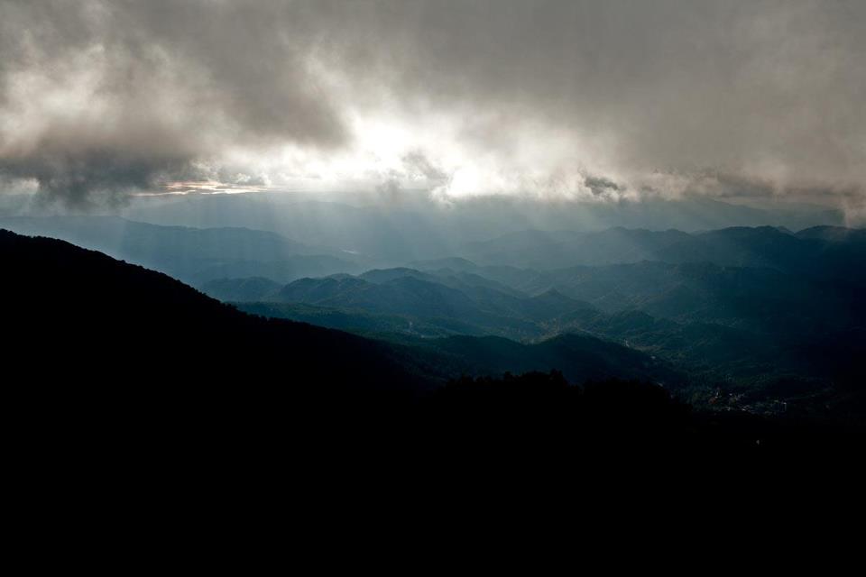
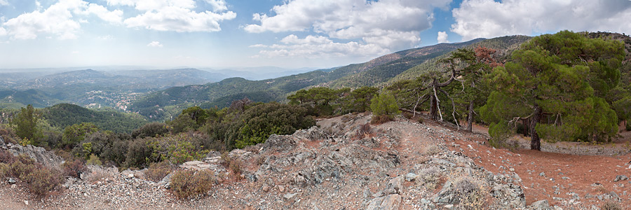
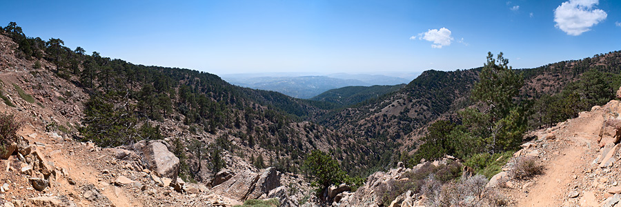
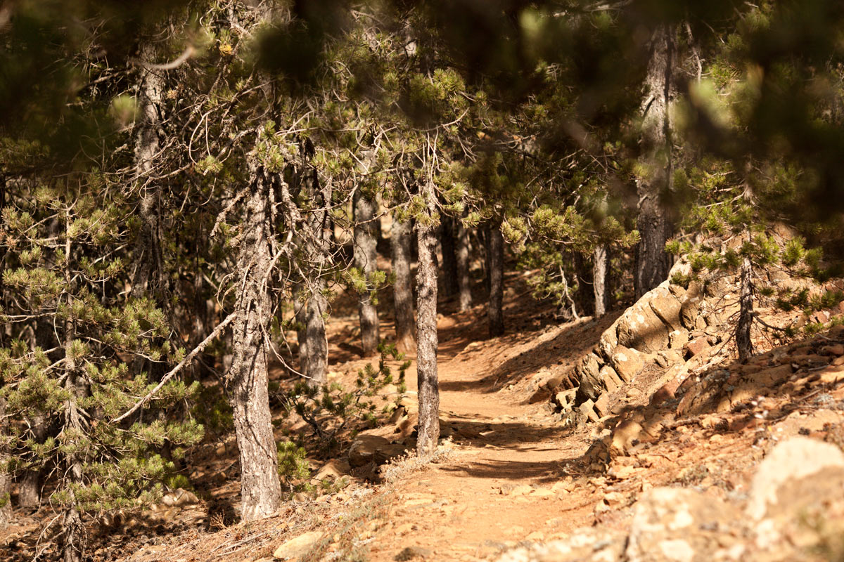
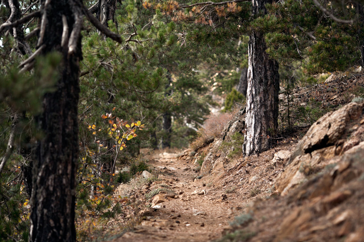
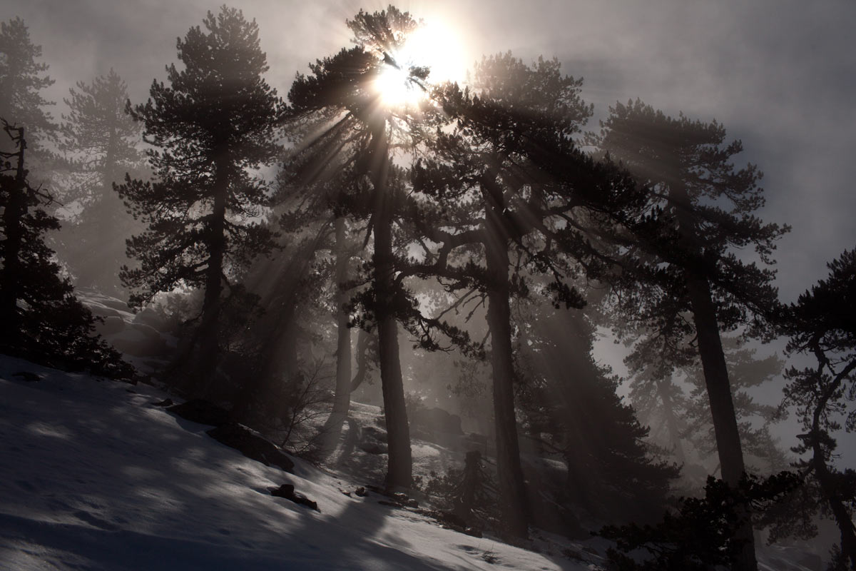
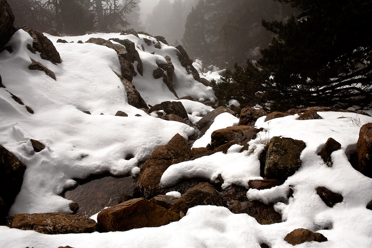
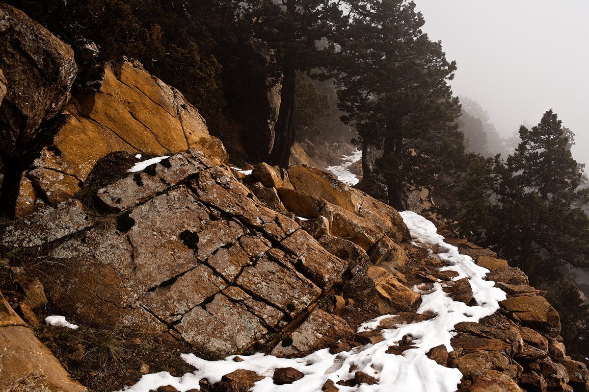
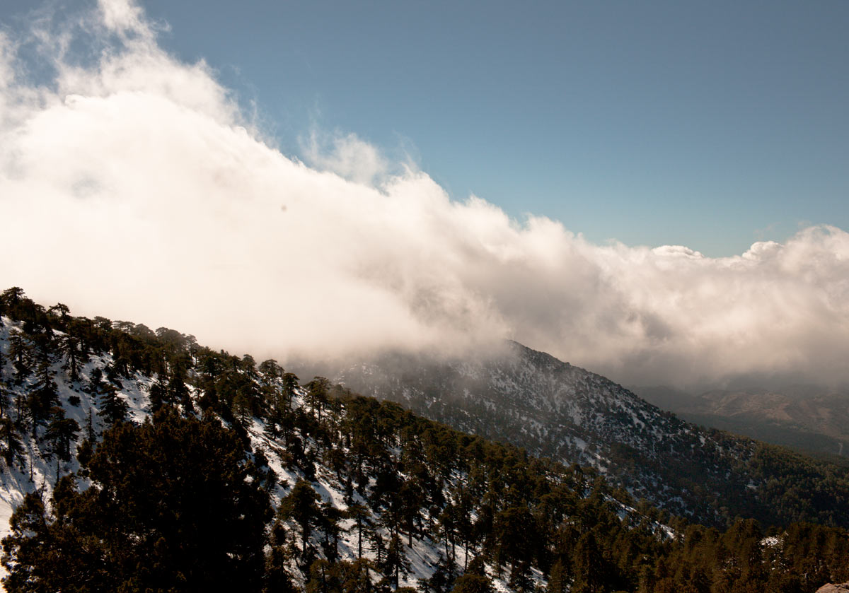
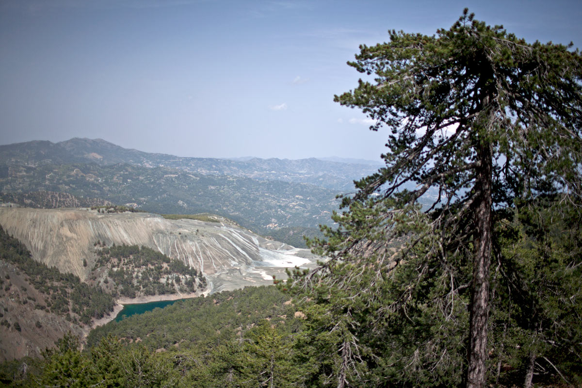
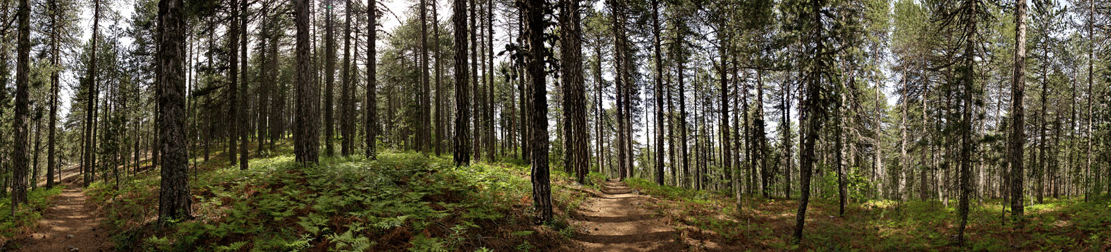
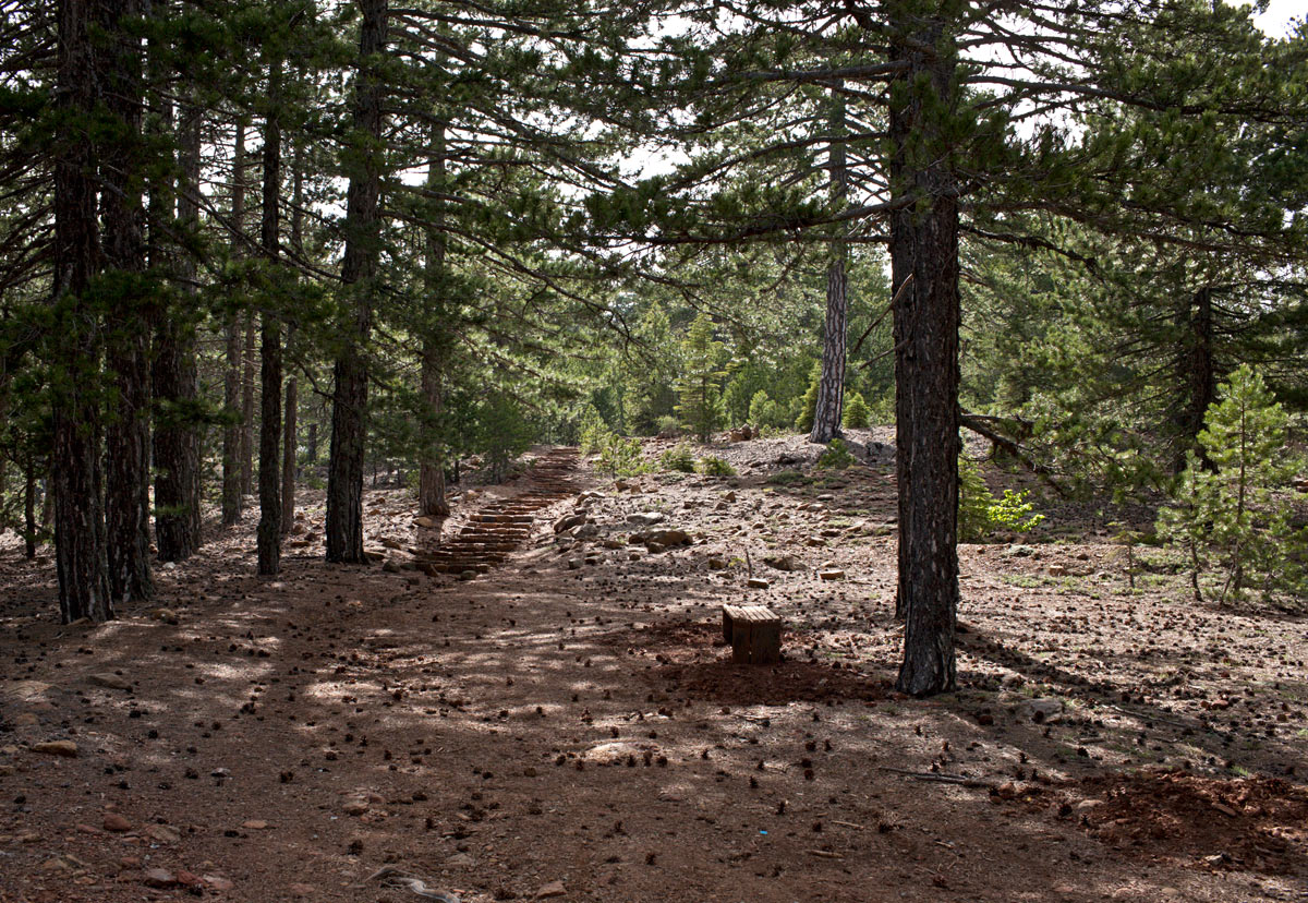
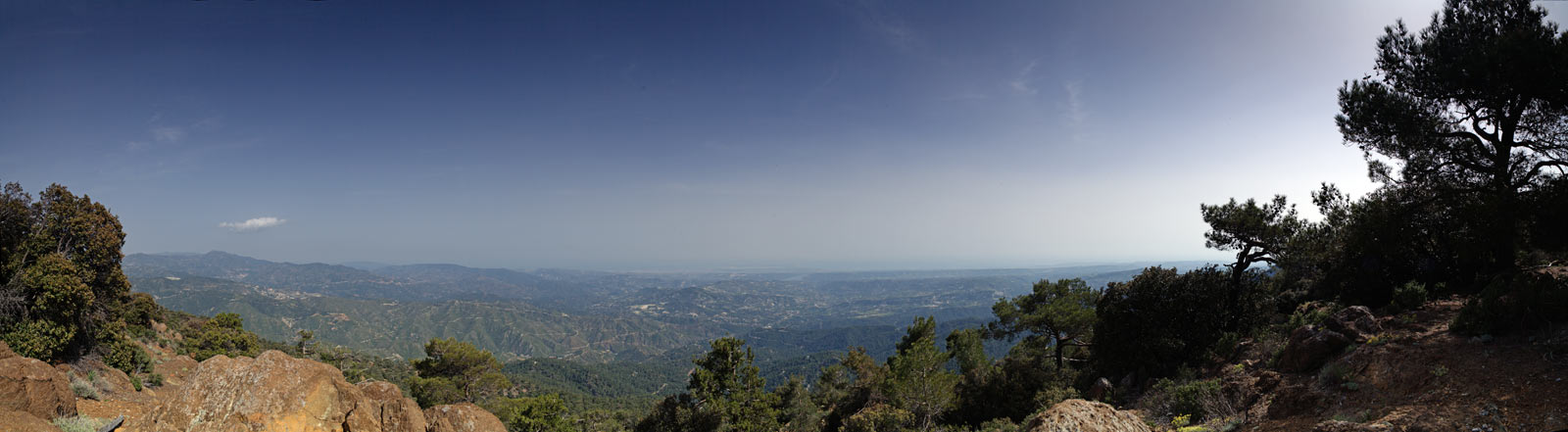
Views are always different and always amazing, including view on second highest peak, pine forests, classic village and old fashioned churches.

Kaledonia trail 3.55 km (2.20 miles)

GPX 

Type: Linear

Length: 3.55 km (2.20 miles)

Time: 1 hour 22 minutes

Difficulty: Normal

Total climb: 410m (0.25 miles)

Start/Finish34.895726,32.868646

One of most popular trails, goes with the river. High enough in the mountains, starts from 1200m, ends at 1600m, which is opposite direction, because official start is at 1600m. Most of people go to waterfalls and back, which is 1.2 km one direction, but trail is longer than that.

IMG_3048 IMG_3050 IMG_3052 IMG_3067 IMG_3068 IMG_3076

If you are lucky you can try wild blackberry:

IMG_3083

Beware of snakes!

IMG_3091

IMG_3093

Waterfall itself:

IMG_3095

Some official information:

IMG_3097 IMG_3098

Amiantos trail 5.09 km (3.16 miles)

GPX

Type: Linear

Length: 5.09 km (3.16 miles)

Time: 3 hour 17 minutes

Difficulty: Normal

Total climb: 293m (0.18 miles)

Start/Finish34.920141,32.93457

Trail is easy itself, but I’ve marked it as normal difficulty because in some places you have to jump on stones over the river. All way long you go near nice narrow river, watch your step when getting near the mine – you can step really deep into wet amiantos.

IMG_8317 IMG_8291   IMG_8343 IMG_8296IMG_8314 IMG_8300

Amiantos mine itself:

IMG_8330-Panorama

Madhari Ridge and Mount Adelphi 12.64 km (7.86 miles)

GPX Track (not mine, taken from wikiloc)

GPX Track (mine, but with pauses)

Type: Circular

Length: 12.64 km (7.86 miles)

Time: 4:30:00-5:00:00

Difficulty: Hard

Total climb: 793m (0.49 miles)

Start/Finish34.955938,32.963061

One of my favourite trails because of it’s views, length and difficulty. Total climb is hell, especially if you carry a tripod. It goes through open spaces and forest as well. You will visit second highest peak of Cyprus and both parts of island – north and south from one point. And there is a fire looking station there.

IMG_2486 IMG_2481

IMG_2354

View from second highest peak of Cyprus. Unfortunatelly there was a sand storm:

madhari_panorama_web

Artemis trail 7.61 km (4.72 miles)

GPX Track

Type: Circular

Length: 7.61 km (4.72 miles)

Time: 2:04:40

Difficulty: Easy

Total climb: 350m (0.21 miles)

Start/Finish: 34.933202, 32.87181

Perfect one for beginners with few stunning views, going through open areas, forest, ski center. You will also meet 500 year old black pine. Visit it any time of year – at summer it will be nice place to get rid of heat. At winter (December – March) difficulty becomes hard because you don’t see the trail and at some places snow gets to your knees. So mind to get good high boots if you go there at winter. Also if it is snowing police may not permit you to enter Troodos area. You can always check current condition with the help of webcam in Troodos: http://www.skicyprus.com/webcam/ Also mind that at this height it’s about 10C less hot than at sea level.

You will see stunning cloud views if you go not in summer period.

428755_564549320251626_1254467323_n.jpg

Summer views:

12_cyprus_pano_s 19_cyprus_pano_sIMG_8404 IMG_8410

Don’t be afraid of snow in winter, it’s very beatifull, just remember about high boots:

IMG_1500 IMG_1479

IMG_1494 IMG_1514

Near ski center there is also a crowd of people

IMG_1533 IMG_1536

But there is also a chance to see nothing because of clouds:

IMG_1469

Persephone Trail 7.14 km (4.43 miles)

GPX Track

Type: Linear

Length: 7.14 km (4.43 miles)

Time: 1:47:33

Difficulty: Easy

Total climb: 297 m (0.18 miles)

Start/Finish: 34.920511,32.881361

Easy linear trail mostly going through forest, with one panoramic view on Limassol, Ladie’s mile and closed amiantos production. Visit it any time of year – at summer it will be nice place to get rid of heat. At winter (December – March) difficulty becomes hard because you don’t see the trail and at some places snow gets to your kness. So mind to get good boots if you go there at winter. Also if it is snowing police may not permit you to enter Troodos area. You can always check current condition with the help of webcam in Troodos: http://www.skicyprus.com/webcam/ Also mind that at this height it’s about 10C less hot than at sea level.

Leave you car at Troodos parking:

IMG_2917-Panorama_Small

Closed amiantos production:

IMG_2876

Panoramic forest view:

IMG_2820-Panorama_small

IMG_2908

Panoramic view at the end of trail:

IMG_2884-Panorama_small